Africa Seeks a More Accurate Representation on the World Map

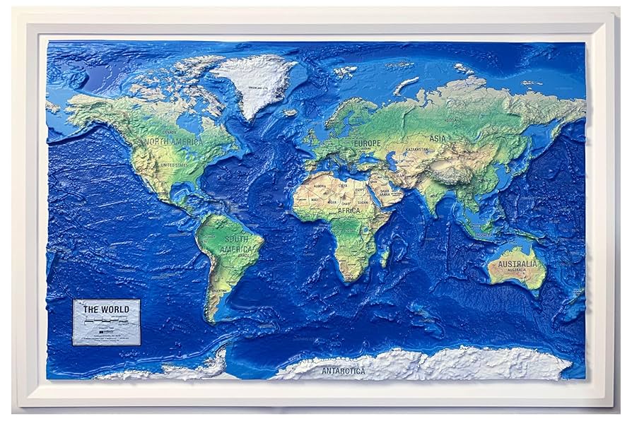
The African Union, comprising 55 African countries, has endorsed a version of the world map that more accurately reflects Africa’s true scale, as reported by Reuters. The organization has backed the “Correct the Map” campaign aimed at replacing the commonly used Mercator map with the Equal Earth projection, which corrects the distortion that enlarges landmasses like Greenland, making them appear larger in comparison to Africa.
The Mercator projection, created in 1569 by Gerardus Mercator, distorts the poles by making regions like Greenland appear nearly as large as Africa, while in reality, Africa is about 14 times larger. The Equal Earth map, however, presents a more realistic portrayal of land sizes, with curved grid lines that better reflect the earth’s spherical shape. This initiative challenges the historical misrepresentation of Africa’s size on maps, which advocates argue diminishes Africa’s perceived global significance.
Though some tech companies offer various map projections, Mercator is still a default for many, including the Google Maps mobile app. The Correct the Map campaign has also launched a petition for organizations like the United Nations and the BBC to adopt the Equal Earth map, highlighting that this change is not only about accurate cartography but also about correcting a narrative that impacts the perception of Africa’s geopolitical and economic prowess.